
Détails de la carteFermer
Kansas, United States · Contour
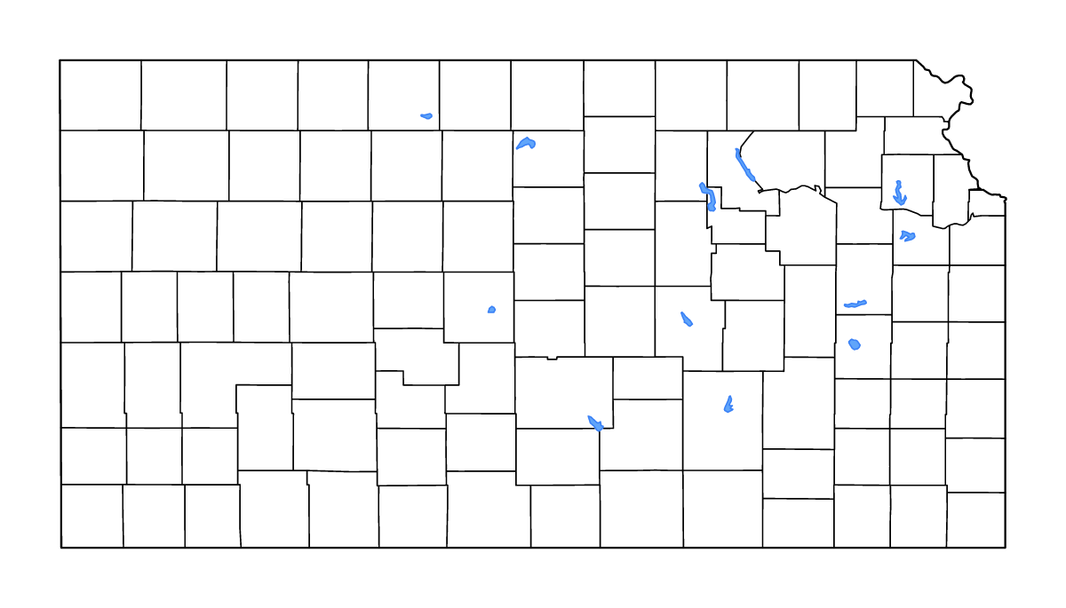
Carte de contour de Kansas, United States, avec 105 unités cartographiées, les lacs, les cours d’eau.
- Localisation
- United States · Amérique du Nord
- Régions incluses
- 105
- Lacs nommés
- 12
Couches disponibles
- Fond
- Frontières
- Subdivisions
- Lacs
- Rivières
Formats de téléchargement
- svg
- png
Régions incluses (105)
- Allen
- Anderson
- Atchison
- Barber
- Barton
- Bourbon
- Brown
- Butler
- Chase
- Chautauqua
- Cherokee
- Cheyenne
- Clark
- Clay
- Cloud
- Coffey
- Comanche
- Cowley
- Crawford
- Decatur
- Dickinson
- Doniphan
- Douglas
- Edwards
- Elk
- Ellis
- Ellsworth
- Finney
- Ford
- Franklin
- Geary
- Gove
- Graham
- Grant
- Gray
- Greeley
- Greenwood
- Hamilton
- Harper
- Harvey
- Haskell
- Hodgeman
- Jackson
- Jefferson
- Jewell
- Johnson
- Kearny
- Kingman
- Kiowa
- Labette
- Lane
- Leavenworth
- Lincoln
- Linn
- Logan
- Lyon
- Marion
- Marshall
- McPherson
- Meade
- Miami
- Mitchell
- Montgomery
- Morris
- Morton
- Nemaha
- Neosho
- Ness
- Norton
- Osage
- Osborne
- Ottawa
- Pawnee
- Phillips
- Pottawatomie
- Pratt
- Rawlins
- Reno
- Republic
- Rice
- Riley
- Rooks
- Rush
- Russell
- Saline
- Scott
- Sedgwick
- Seward
- Shawnee
- Sheridan
- Sherman
- Smith
- Stafford
- Stanton
- Stevens
- Sumner
- Thomas
- Trego
- Wabaunsee
- Wallace
- Washington
- Wichita
- Wilson
- Woodson
- Wyandotte
Lacs inclus (12)
- Melvern Lake
- John Redmond Reservoir
- Kirwin Reservoir
- Waconda Lake
- Milford Lake
- Marion Reservoir
- El Dorado Lake
- Perry Lake
- Cheney Reservoir
- Cheyenne Bottoms
- Clinton Lake
- Tuttle Creek Lake
Chargement de la carte...