
Détails de la carteFermer
United States · Contour
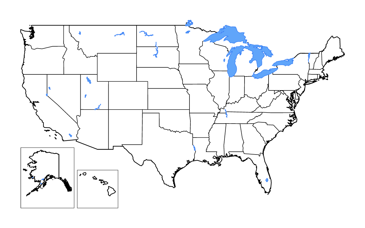
Carte de contour de United States, avec 50 unités cartographiées, les lacs, les cours d’eau. Ne comprend pas District of Columbia.
- Localisation
- Amérique du Nord
- Régions incluses
- 50
- Lacs nommés
- 25
Couches disponibles
- Fond
- Frontières
- Subdivisions
- Lacs
- Rivières
Formats de téléchargement
- svg
- png
Régions incluses (50)
- Alabama
- Alaska
- Arizona
- Arkansas
- California
- Colorado
- Connecticut
- Delaware
- Florida
- Georgia
- Hawaii
- Idaho
- Illinois
- Indiana
- Iowa
- Kansas
- Kentucky
- Louisiana
- Maine
- Maryland
- Massachusetts
- Michigan
- Minnesota
- Mississippi
- Missouri
- Montana
- Nebraska
- Nevada
- New Hampshire
- New Jersey
- New Mexico
- New York
- North Carolina
- North Dakota
- Ohio
- Oklahoma
- Oregon
- Pennsylvania
- Rhode Island
- South Carolina
- South Dakota
- Tennessee
- Texas
- Utah
- Vermont
- Virginia
- Washington
- West Virginia
- Wisconsin
- Wyoming
Lacs inclus (25)
- Toledo Bend Reservoir
- Salton Sea
- Flathead Lake
- Kentucky Lake
- Lake Winnebago
- Lake Superior
- Becharof Lake
- Lake Ontario
- Fort Peck Lake
- Upper Red Lake, Lower Red Lake
- Great Salt Lake
- Lake Erie
- Lake Powell
- Lake Okeechobee
- Lake Tahoe
- Lake Sakakawea, Audubon Lake
- Lake Oahe
- Lake Huron
- Pyramid Lake
- Sevier Lake
- Dall Lake
- Iliamna Lake
- Lake of the Woods
- Lake Champlain
- Lake Michigan
Chargement de la carte...