
Map detailsClose
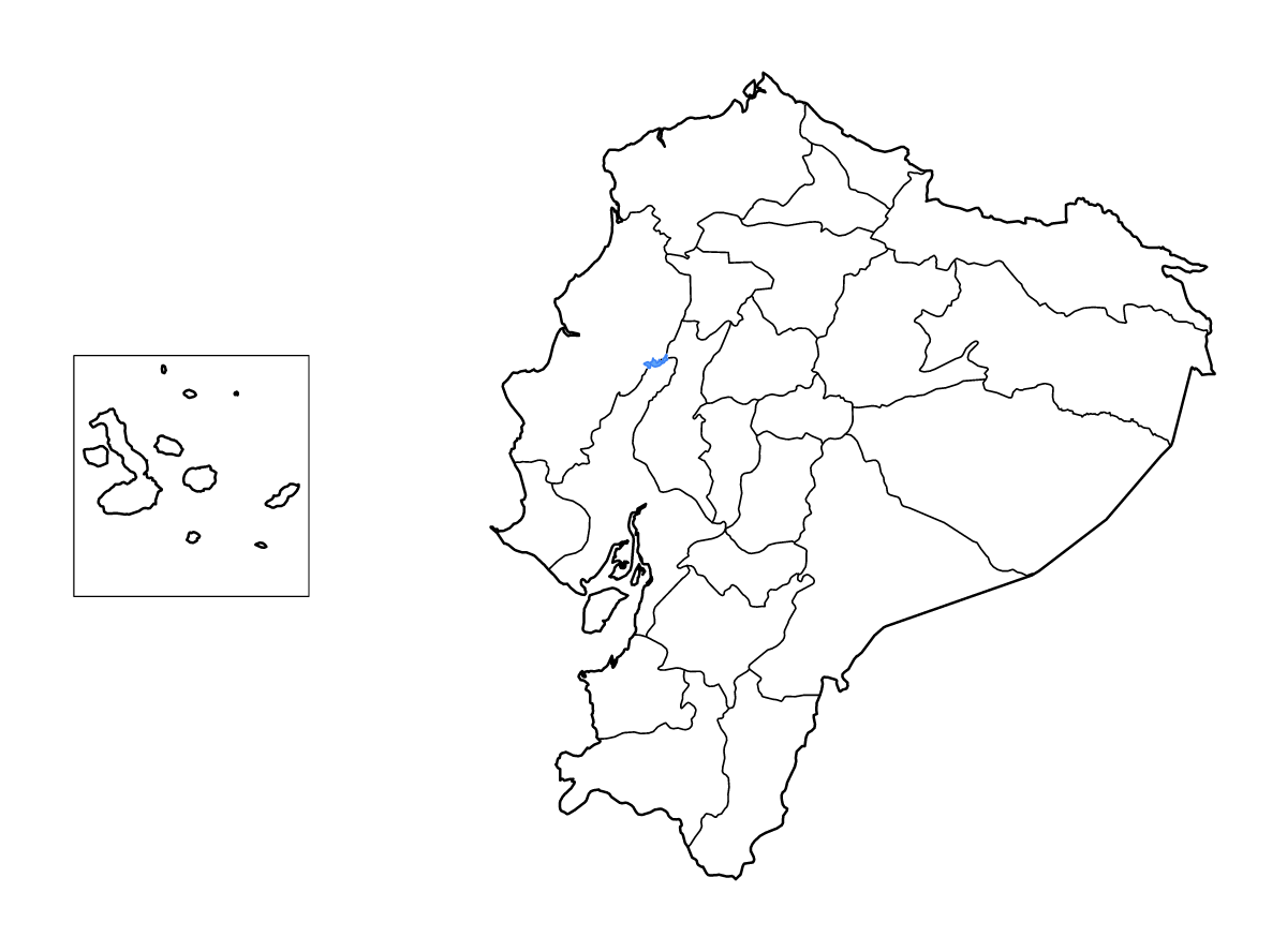
Ecuador Outline Map
Outline map of Ecuador, showing 24 mapped units and lakes and rivers.
- Location
- South America
- Regions included
- 24
- Named lakes
- 1
Available layers
- Background
- Borders
- Subdivisions
- Lakes
- Rivers
Download formats
- svg
- png
Regions included (24)
- Azuay
- Bolívar
- Cañar
- Carchi
- Chimborazo
- Cotopaxi
- El Oro
- Esmeraldas
- Galápagos
- Guayas
- Imbabura
- Loja
- Los Ríos
- Manabí
- Morona-Santiago
- Napo
- Orellana
- Pastaza
- Pichincha
- Santa Elena
- Santo Domingo de los Tsáchilas
- Sucumbíos
- Tungurahua
- Zamora Chinchipe
Lakes included (1)
- Embalse Daule Peripa
Loading map...