
Map detailsClose
South America Outline Map
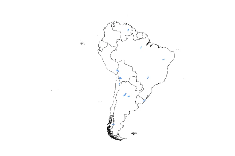
Outline map of South America, showing 14 mapped units and lakes and rivers.
- Regions included
- 14
- Named lakes
- 12
Available layers
- Background
- Borders
- Subdivisions
- Lakes
- Rivers
Download formats
- svg
- png
Regions included (14)
- Argentina
- Bolivia
- Brazil
- Chile
- Colombia
- Ecuador
- Falkland Islands / Malvinas
- France
- Guyana
- Paraguay
- Peru
- Suriname
- Uruguay
- Venezuela
Lakes included (12)
- Lago Buenos Aires
- Salar de Uyuni
- Rio Tapajós, Rio Arapiuns
- Salar de Atacama
- Laguna Mar Chiquita
- Embalse de Guri
- Salinas Grandes
- Salinas de Ambargasta
- Represa de Ilha Solteira
- Represa de Sobradinho
- Lagoa Mirim
- Lago Titicaca
Loading map...