
Map detailsClose
Colombia Outline Map
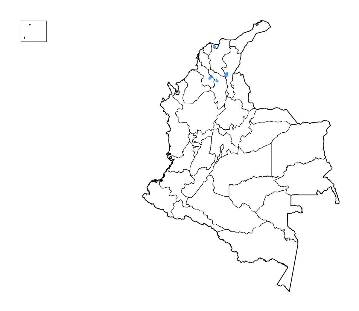
Outline map of Colombia, showing 33 mapped units and lakes and rivers.
- Location
- South America
- Regions included
- 33
- Named lakes
- 3
Available layers
- Background
- Borders
- Subdivisions
- Lakes
- Rivers
Download formats
- svg
- png
Regions included (33)
- Amazonas
- Antioquia
- Arauca
- Archipelago of Saint Andréws
- Atlántico
- Bogotá
- Bolívar
- Boyacá
- Caldas
- Caquetá
- Casanare
- Cauca
- Cesar
- Chocó
- Córdoba
- Cundinamarca
- Guainía
- Guaviare
- Huila
- La Guajira
- Magdalena
- Meta
- Nariño
- Norte de Santander
- Putumayo
- Quindío
- Risaralda
- Santander
- Sucre
- Tolima
- Valle del Cauca
- Vaupés
- Vichada
Lakes included (3)
- Ciénaga de Zapatoza
- Ciénaga Iguana
- Ciénaga La Solera, Ciénaga de Pajaral
Loading map...