
Map detailsClose
Chile Outline Map
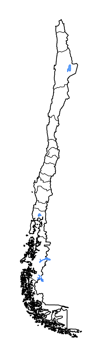
Outline map of Chile, showing 16 mapped units and lakes and rivers.
- Location
- South America
- Regions included
- 16
- Named lakes
- 4
Available layers
- Background
- Borders
- Subdivisions
- Lakes
- Rivers
Download formats
- svg
- png
Regions included (16)
- Antofagasta
- Araucanía
- Arica y Parinacota
- Atacama
- Aysén
- Biobío
- Coquimbo
- Los Lagos
- Los Ríos
- Magellan and the Chilean Antarctic
- Maule
- Ñuble
- O'Higgins
- Santiago
- Tarapacá
- Valparaíso
Lakes included (4)
- Lago Buenos Aires
- Salar de Atacama
- Lago Llanquihue
- Lago San Martín
Loading map...