
Loading map...
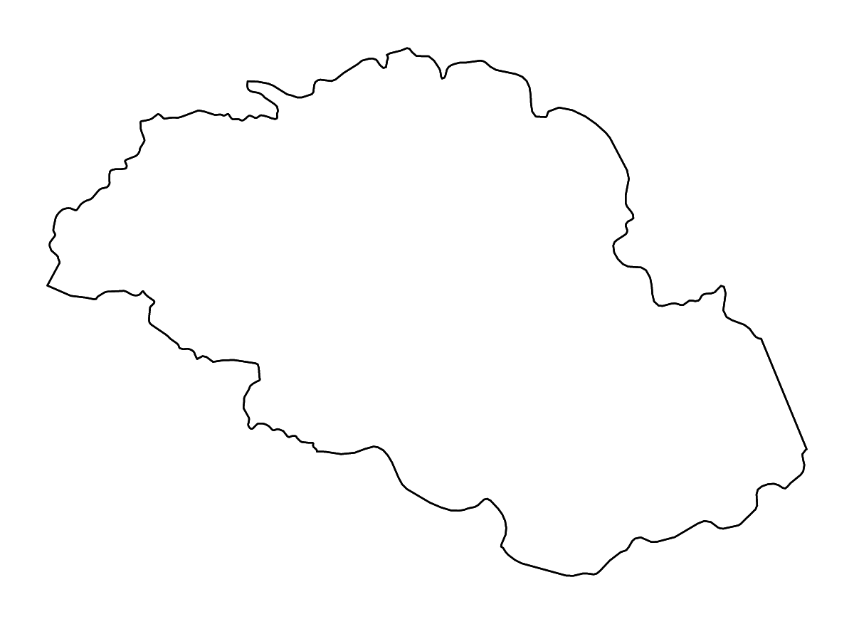
About the Gilgit-Baltistan Centrally Administered Area, Pakistan outline & rivers map
Customize this Gilgit-Baltistan Centrally Administered Area, Pakistan outline & rivers map with river features. Style the border, water, and background independently to match your project.
Export the finished Gilgit-Baltistan Centrally Administered Area, Pakistan map as SVG, PNG, or PDF for presentations, reports, websites, classroom materials, or print.

Map facts
- Geography
- Gilgit-Baltistan is represented as a first-level administrative division in Pakistan.
- Administrative hierarchy
- Asia → Pakistan → Gilgit-Baltistan
- Map extent
- Longitude 72.5156° to 77.049°; latitude 34.497° to 37.0545°
- Water features
- River geometry included
- Source
- Natural Earth base geography, modified by CustomAtlas
