
Map detailsClose
Pakistan Outline Map
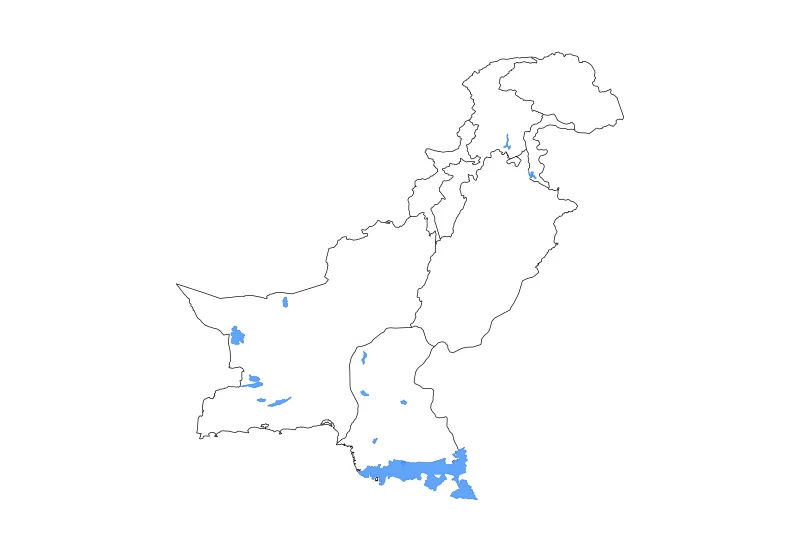
Outline map of Pakistan, showing 8 mapped units and lakes and rivers.
- Location
- Asia
- Regions included
- 8
- Named lakes
- 10
Available layers
- Background
- Borders
- Subdivisions
- Lakes
- Rivers
Download formats
- svg
- png
Regions included (8)
- Azad Kashmir
- Balochistan
- Federally Administered Tribal Areas
- Gilgit-Baltistan
- Islamabad Capital Territory
- Khyber Pakhtunkhwa
- Punjab
- Sindh
Lakes included (10)
- Kinjhar Dhand
- Mangla Reservoir
- Hamun-i-Mashkel
- Rann of Kutch
- Hamun-i-Lora
- Chotiari Reservoir
- Sinatri Dhand
- Hamal Lake
- Tarbela Reservoir
- Manchhar Lake
Loading map...