
Détails de la carteFermer
Northern Ireland · Contour
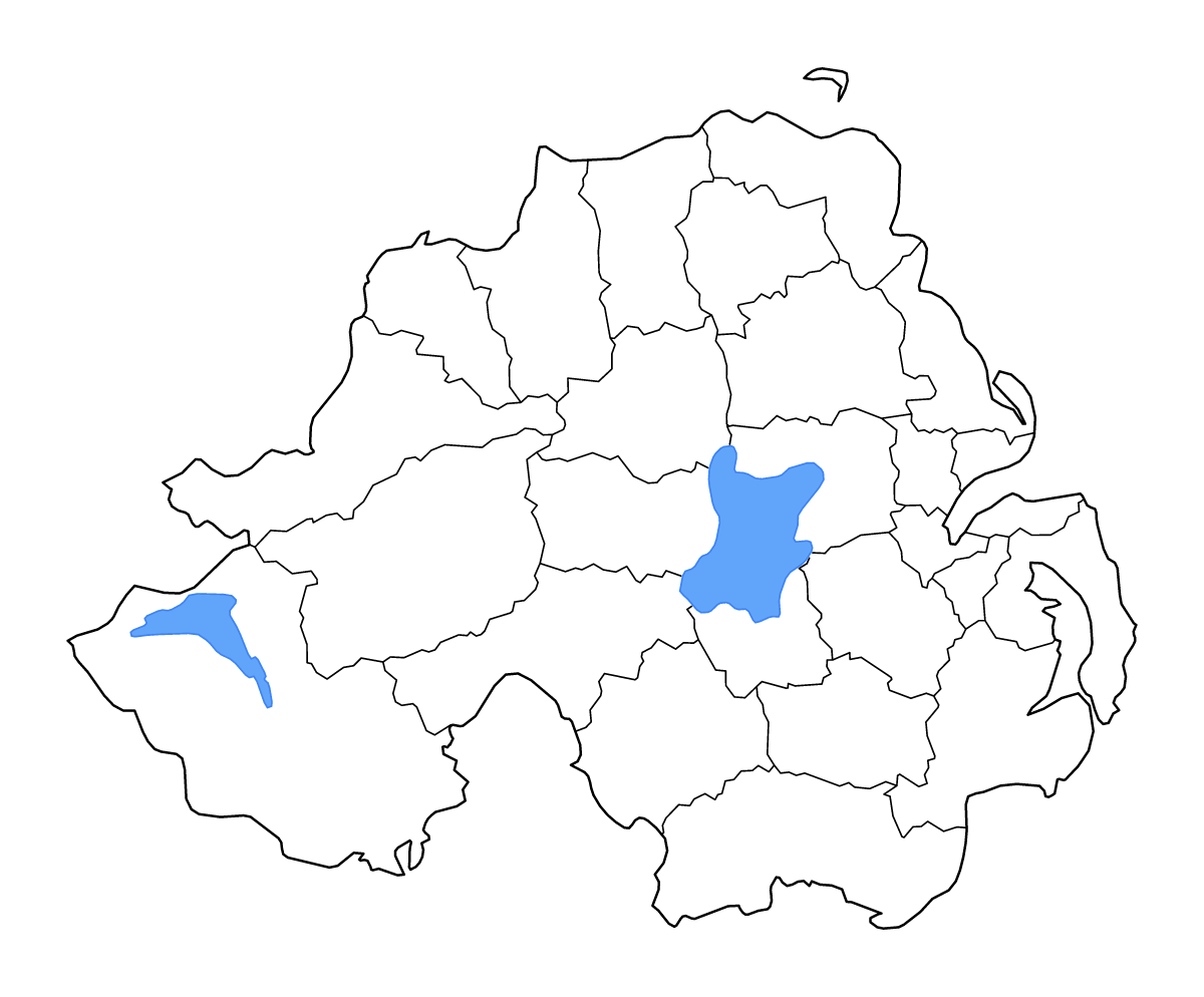
Carte de contour de Northern Ireland, avec 26 unités cartographiées, les lacs, les cours d’eau.
- Localisation
- Europe
- Régions incluses
- 26
- Lacs nommés
- 2
Couches disponibles
- Fond
- Frontières
- Subdivisions
- Lacs
- Rivières
Formats de téléchargement
- svg
- png
Régions incluses (26)
- Antrim
- Ards
- Armagh
- Ballymena
- Ballymoney
- Banbridge
- Belfast
- Carrickfergus
- Castlereagh
- Coleraine
- Craigavon
- Derry
- Down
- Dungannon and South Tyrone
- Fermanagh
- Larne
- Limavady
- Lisburn
- Magherafelt
- Mid Ulster
- Moyle
- Newry and Mourne
- Newtownabbey
- North Down
- Omagh
- Strabane
Lacs inclus (2)
- Lough Neagh
- Lower Lough Erne
Chargement de la carte...