
Détails de la carteFermer
Iran · Contour
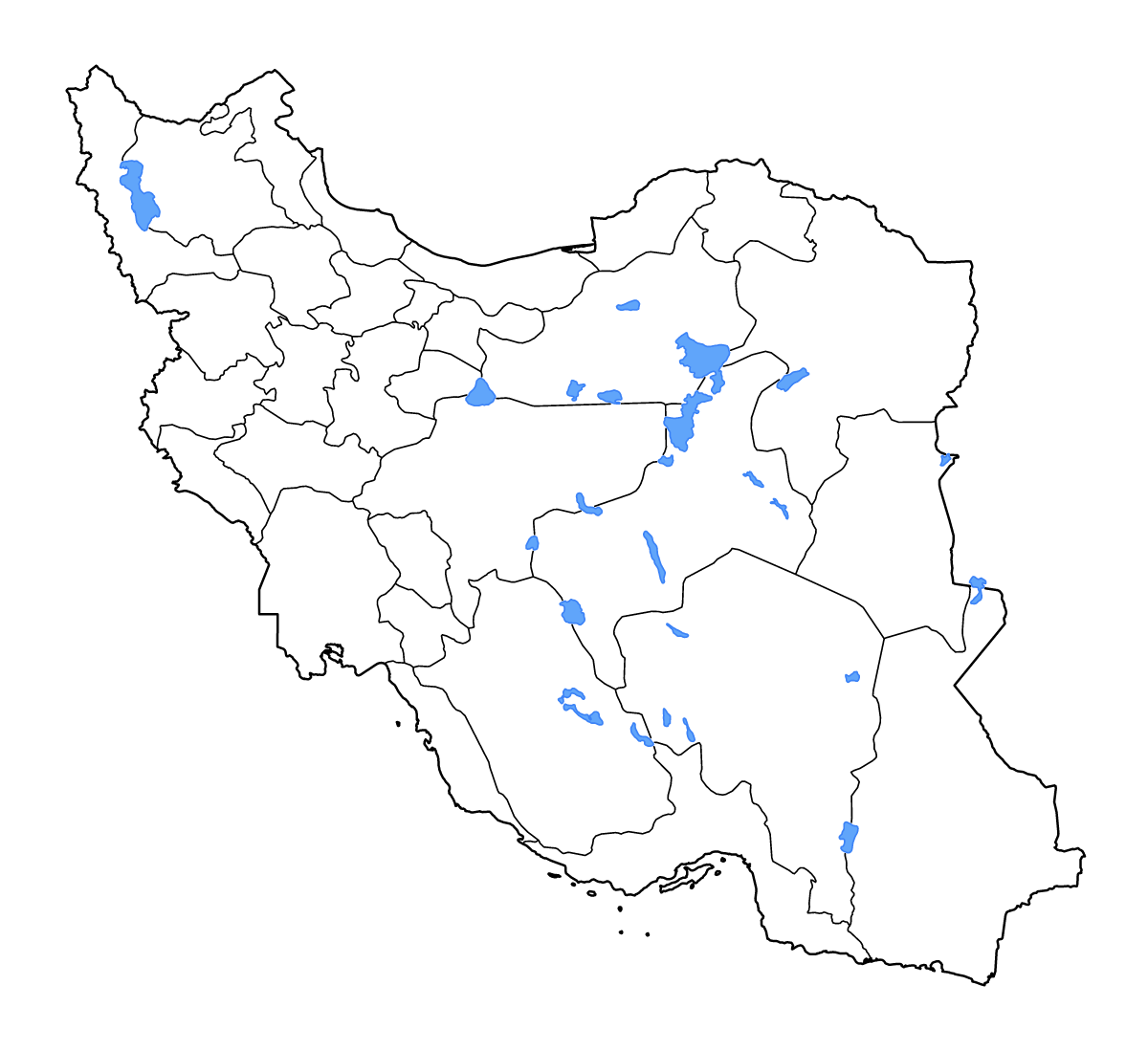
Carte de contour de Iran, avec 31 unités cartographiées, les lacs, les cours d’eau.
- Localisation
- Asie
- Régions incluses
- 31
- Lacs nommés
- 13
Couches disponibles
- Fond
- Frontières
- Subdivisions
- Lacs
- Rivières
Formats de téléchargement
- svg
- png
Régions incluses (31)
- Alborz
- Ardabil
- Bushehr
- Chaharmahal and Bakhtiari
- East Azerbaijan
- Fars
- Gilan
- Golestan
- Hamadan
- Hormozgan
- Ilam
- Isfahan
- Kerman
- Kermanshah
- Khuzestan
- Kohgiluyeh and Boyer-Ahmad
- Kurdistan
- Lorestan
- Markazi
- Mazandaran
- North Khorasan
- Qazvin
- Qom
- Razavi Khorasan
- Semnan
- Sistan and Baluchestan
- South Khorasan
- Tehran
- West Azerbaijan
- Yazd
- Zanjan
Lacs inclus (13)
- Daqq-e Paţregān
- Kavīr-e Namak-e Masīrjān
- Daryā-ye Namak
- Daryācheh-ye Ţashk
- Kavīr-e Sīāh Kūh
- Daryācheh-ye Bakhtegān
- Daryācheh-ye Faşlī-ye Hāmūn-e Jāzmūrīān
- Hāmūn-e Şābirī
- Kaffeh-ye Bard-e Shīrāz
- Kavīr-e Darānjīr
- Lake Urmia
- Meydān-e Gel
- Gāvkhūnī
Chargement de la carte...