
Cargando mapa...
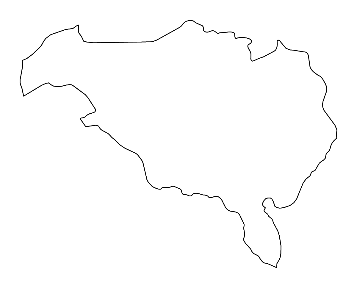
Sobre el mapa (contorno y ríos): Ombella-M'Poko Prefecture, Central African Republic
Personaliza este mapa (contorno y ríos): Ombella-M'Poko Prefecture, Central African Republic con ríos. Ajusta de forma independiente el borde, el agua y el fondo según las necesidades de tu proyecto.
Exporta el mapa terminado (Ombella-M'Poko Prefecture, Central African Republic) en SVG, PNG o PDF para presentaciones, informes, sitios web, materiales educativos o impresión.

Datos del mapa
- Geografía
- El recurso representa Ombella-M'Poko Prefecture como división administrativa de primer nivel en Central African Republic.
- Jerarquía administrativa
- África → Central African Republic → Ombella-M'Poko Prefecture
- Extensión del mapa
- Longitud de 16,4965° a 19,1075°; latitud de 3,8666° a 5,8976°
- Elementos de agua
- Incluye geometría de ríos
- Fuente
- Geografía base de Natural Earth, modificada por CustomAtlas
