
Map detailsClose
Maryland, United States Outline Map
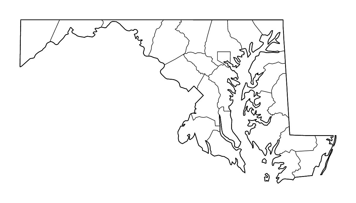
Outline map of Maryland, United States, showing 24 mapped units and rivers.
- Location
- United States · North America
- Regions included
- 24
Available layers
- Background
- Borders
- Subdivisions
- Rivers
Download formats
- svg
- png
Regions included (24)
- Allegany
- Anne Arundel
- Baltimore City
- Baltimore County
- Calvert
- Caroline
- Carroll
- Cecil
- Charles
- Dorchester
- Frederick
- Garrett
- Harford
- Howard
- Kent
- Montgomery
- Prince George's
- Queen Anne's
- Somerset
- St. Mary's
- Talbot
- Washington
- Wicomico
- Worcester
Loading map...