Customize and download a Mexico outline map as SVG, PNG, or PDF. Edit colors, borders, water, and export size.
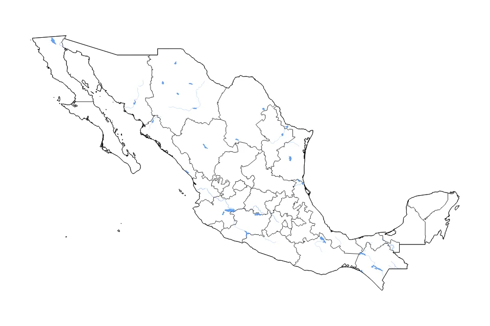
Customize this Mexico outline, subdivisions, lakes, and rivers map with internal administrative boundaries and water features including Lago de Chapala, Laguna Salada, Presa Miguel Alemán, Presa Dr. Belisario Dominguez, and Presa Derivadora la Patria es Primero and rivers. Style the border, subdivisions, water, and background independently to match your project.
Export the finished Mexico map as SVG, PNG, or PDF for presentations, reports, websites, classroom materials, or print.

