
Map detailsClose
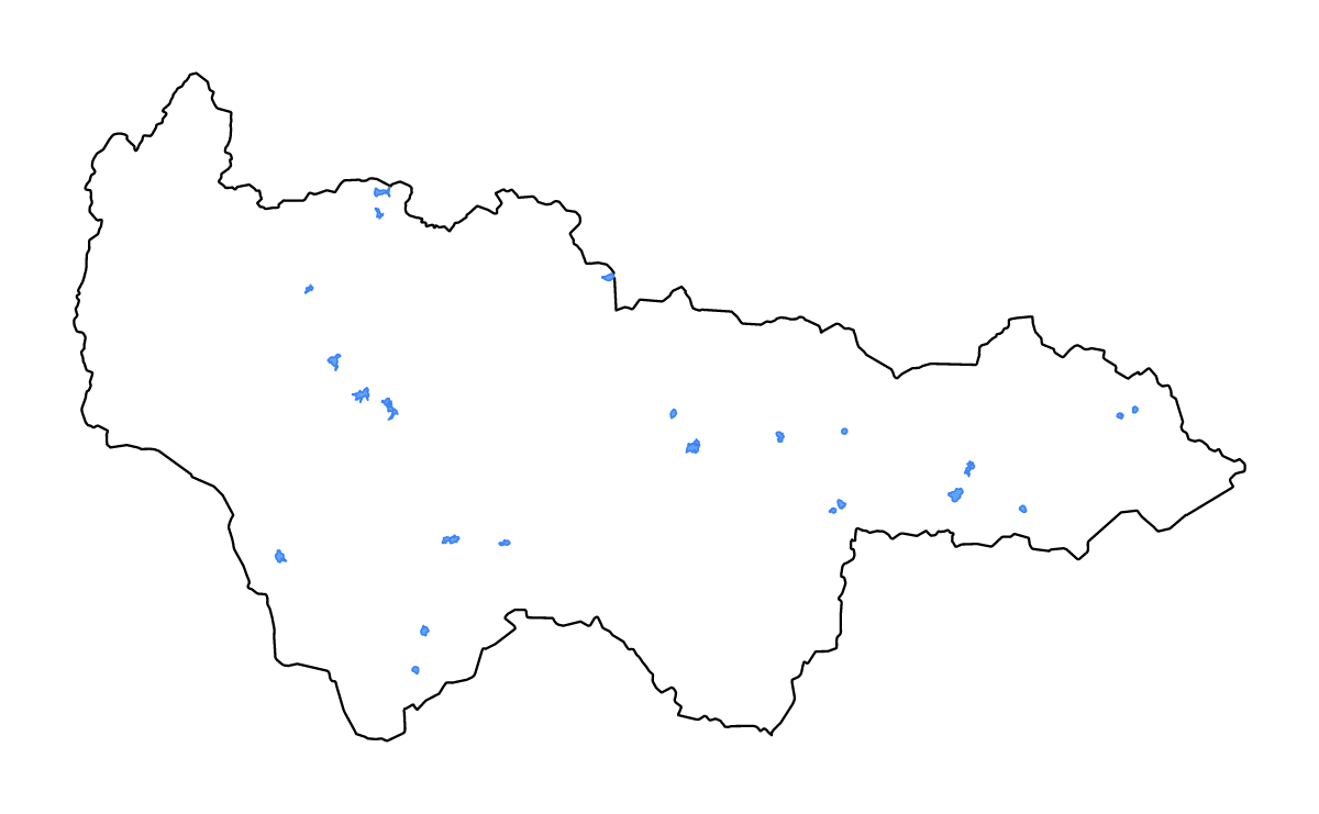
Khanty-Mansi Autonomous Okrug Autonomous Province, Russian Federation Outline Map
Outline map of Khanty-Mansi Autonomous Okrug, Russian Federation, showing the boundary and lakes and rivers.
- Location
- Russian Federation · Europe
- Named lakes
- 18
Available layers
- Background
- Borders
- Lakes
- Rivers
Download formats
- svg
- png
Lakes included (18)
- Ozero Num-To
- Ozero Shchuch’ye
- Ozero Sartemtor
- Ozero Yakh-Tur
- Ozero Untor
- Ozero Kymylemtor
- Ozero Khotlokh
- Ozero Tormemtor
- Ozero Chuanel’tur
- Ozero Temryak
- Ozero Pil’tanlor
- Ozero Nantlor
- Ozero Ellepugolemtor
- Ozero Tursuntskiy Tuman
- Ozero Vandmtor
- Ozero Yendra
- Ozero Samotlor
- Ozero Ergipskiy Sor
Loading map...