
Map detailsClose
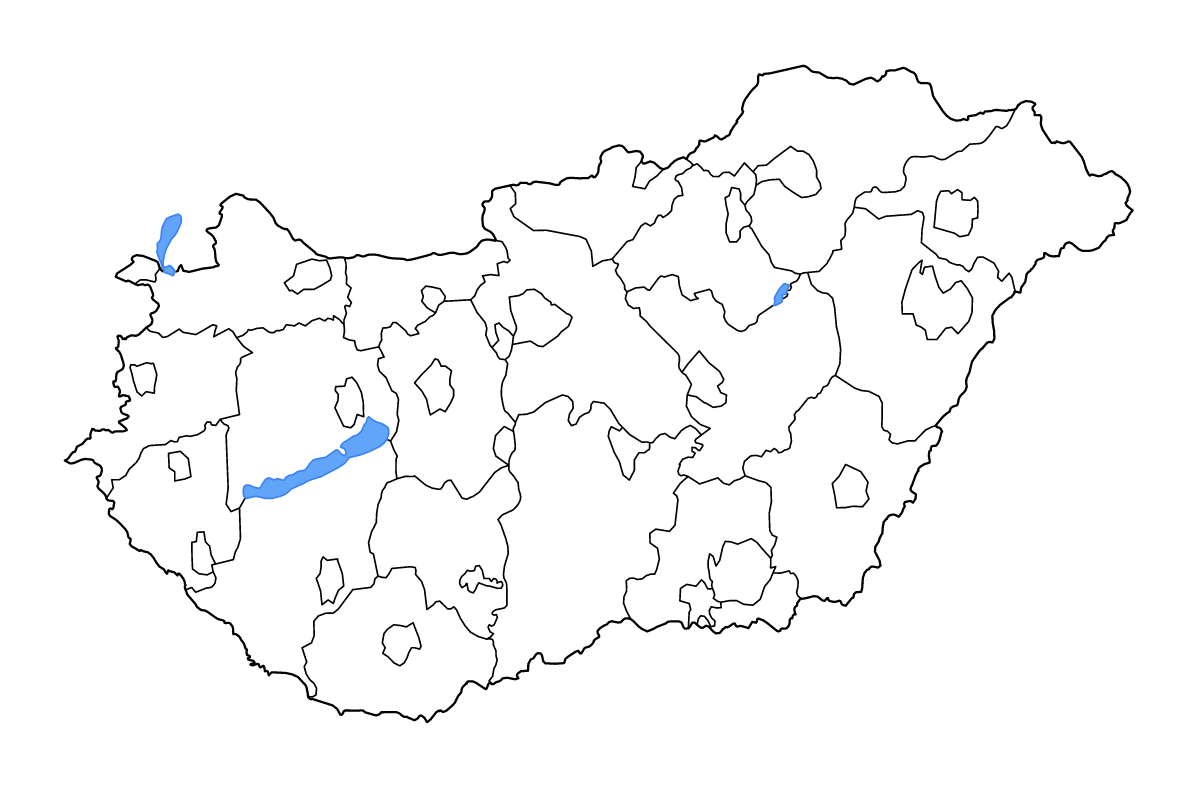
Hungary Outline Map
Outline map of Hungary, showing 43 mapped units and lakes and rivers.
- Location
- Europe
- Regions included
- 43
- Named lakes
- 3
Available layers
- Background
- Borders
- Subdivisions
- Lakes
- Rivers
Download formats
- svg
- png
Regions included (43)
- Bács-Kiskun
- Baranya
- Békés
- Békéscsaba
- Borsod-Abaúj-Zemplén
- Budapest
- Csongrád-Csanád
- Debrecen
- Dunaújváros
- Eger
- Érd
- Fejér
- Győr
- Győr-Moson-Sopron
- Hajdú-Bihar
- Heves
- Hódmezővásárhely
- Jász-Nagykun-Szolnok
- Kaposvár
- Kecskemét
- Komárom-Esztergom
- Miskolc
- Nagykanizsa
- Nógrád
- Nyíregyháza
- Pécs
- Pest
- Salgótarján
- Somogy
- Sopron
- Szabolcs-Szatmár-Bereg
- Szeged
- Székesfehérvár
- Szekszárd
- Szolnok
- Szombathely
- Tatabánya
- Tolna
- Vas
- Veszprém County
- Veszprém Urban county
- Zala
- Zalaegerszeg
Lakes included (3)
- Tisza-tó
- Neusiedler See
- Balaton
Loading map...