
Map detailsClose
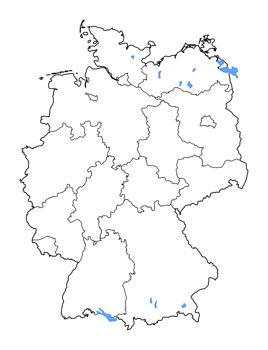
Germany Outline Map
Outline map of Germany, showing 16 mapped units and lakes and rivers.
- Location
- Europe
- Regions included
- 16
- Named lakes
- 12
Available layers
- Background
- Borders
- Subdivisions
- Lakes
- Rivers
Download formats
- svg
- png
Regions included (16)
- Baden-Württemberg
- Bavaria
- Berlin
- Brandenburg
- Free Hanseatic Bremen
- Hamburg
- Hesse
- Lower Saxony
- Mecklenburg-Western Pomerania
- North Rhine-Westphalia
- Rhineland-Palatinate
- Saarland
- Saxony
- Saxony-Anhalt
- Schleswig-Holstein
- Thuringia
Lakes included (12)
- Großer Plöner See
- Chiemsee
- Ammersee
- Untersee
- Schweriner See
- Kummerower See
- Oderhaff and Zalew Szczeciński
- Bodensee
- Müritz
- Achterwasser
- Starnberger See
- Plauer See
Loading map...