
Map detailsClose
Uzbekistan Outline Map
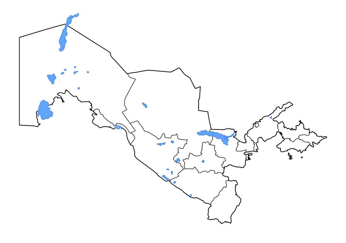
Outline map of Uzbekistan, showing 14 mapped units and lakes and rivers.
- Location
- Asia
- Regions included
- 14
- Named lakes
- 17
Available layers
- Background
- Borders
- Subdivisions
- Lakes
- Rivers
Download formats
- svg
- png
Regions included (14)
- Andijan
- Bukhara
- Fergana
- Jizzakh
- Karakalpakstan
- Namangan
- Navoiy
- Qashqadaryo
- Samarqand
- Sirdaryo
- Surxondaryo
- Tashkent
- Tashkent
- Xorazm
Lakes included (17)
- Dengizko’l Ko’li
- Shegeko‘l Ko‘l
- Aydarko‘l Ko‘li
- Akushpa Ko‘l
- Borsakelmas Sho‘ri
- Kattaqo‘rg‘on Suv Ombori
- Sarygamyş Köli
- Tuâmuûnskaâ Vodohraniliŝe
- Dovutko‘l Ko‘l
- Chorvoq Suv Ombori
- Aral Sea
- Jiltirbos Ko’li
- Ribatskiy Zaliv Ko‘l
- Sichanquyi Sho‘rxogi
- Oyoqog’itma Ko’li
- Tallimarjon Suv Ombori
- Tudakul’skoye Vodokhranilishche
Loading map...