
Map detailsClose
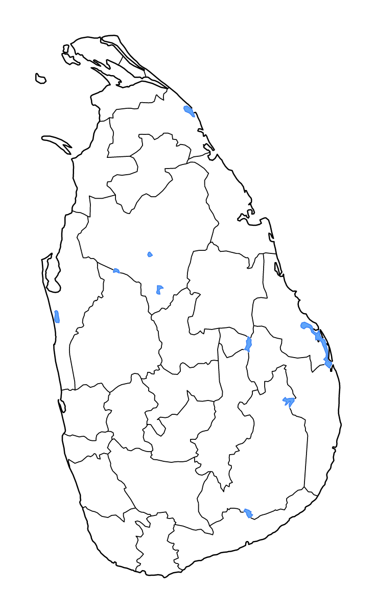
Sri Lanka Outline Map
Outline map of Sri Lanka, showing 25 mapped units and lakes and rivers.
- Location
- Asia
- Regions included
- 25
- Named lakes
- 9
Available layers
- Background
- Borders
- Subdivisions
- Lakes
- Rivers
Download formats
- svg
- png
Regions included (25)
- Ampara
- Anuradhapura
- Badulla
- Batticaloa
- Colombo
- Galle
- Gampaha
- Hambantota
- Jaffna
- Kalutara
- Kandy
- Kegalle
- Kilinochchi
- Kurunegala
- Mannar
- Matale
- Matara
- Monaragala
- Mullaitivu
- Nuwara Eliya
- Polonnaruwa
- Puttalam
- Ratnapura
- Trincomalee
- Vavuniya
Lakes included (9)
- Nanthi Kadal
- Senanayaka Samudra
- Lunugamwehera Resevoir
- Nachchaduwa Tank
- Rajangana Tank
- Madura Oya Reservoir
- Batticaloa Lake
- Kala Wewa
- Mundal Lake
Loading map...