
Map detailsClose
Philippines Outline Map
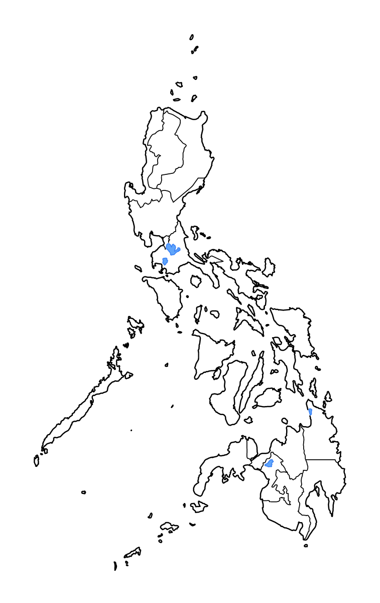
Outline map of Philippines, showing 18 mapped units and lakes and rivers.
- Location
- Asia
- Regions included
- 18
- Named lakes
- 4
Available layers
- Background
- Borders
- Subdivisions
- Lakes
- Rivers
Download formats
- svg
- png
Regions included (18)
- Bangsamoro Autonomous Region in Muslim Mindanao (BARMM)
- Cordillera Administrative Region (CAR)
- MIMAROPA Region
- National Capital Region (NCR)
- Negros Island Region (NIR)
- Region I (Ilocos Region)
- Region II (Cagayan Valley)
- Region III (Central Luzon)
- Region IV-A (CALABARZON)
- Region IX (Zamboanga Peninsula)
- Region V (Bicol Region)
- Region VI (Western Visayas)
- Region VII (Central Visayas)
- Region VIII (Eastern Visayas)
- Region X (Northern Mindanao)
- Region XI (Davao Region)
- Region XII (SOCCSKSARGEN)
- Region XIII (Caraga)
Lakes included (4)
- Lake Taal
- Lake Mainit
- Lake Lanao
- Laguna de Bay
Loading map...