
Map detailsClose
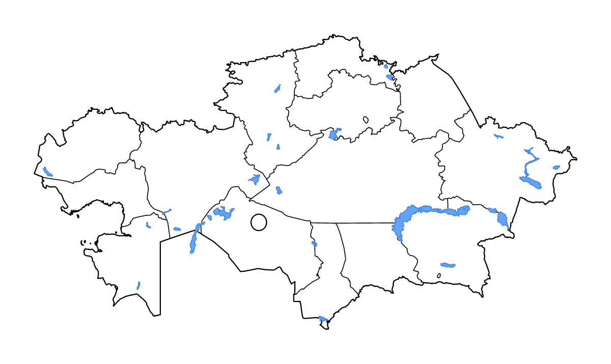
Kazakhstan Outline Map
Outline map of Kazakhstan, showing 16 mapped units and lakes and rivers.
- Location
- Asia
- Regions included
- 16
- Named lakes
- 20
Available layers
- Background
- Borders
- Subdivisions
- Lakes
- Rivers
Download formats
- svg
- png
Regions included (16)
- Akmola
- Aktobe
- Almaty City
- Almaty Region
- Atyrau
- East Kazakhstan
- Jambyl
- Karaganda
- Kostanay
- Kyzylorda
- Mangystau
- North Kazakhstan
- Nur-Sultan
- Pavlodar
- Turkistan
- West Kazakhstan
Lakes included (20)
- Aral Sea
- Bukhtarminskoye Vodokhranilishche
- Aral Sea
- Sor Asmantay-Matay
- Ozero Teniz
- Ozero Seletyteniz
- Ozero Tusbaktomer
- Shūl’bīnsk
- Tengiz Köli
- Qusmuryn Köli
- Aral Sea
- Ozero Markakol’
- Ozero Balkhash
- Solonchak Saumalkol’
- Ozero Teke
- Ozero Alakol’
- Kendirlisor
- Ozero Sasykkol’
- Kapchagay Vodokhranilishche
- Chardarinskoye Vodokhranilishche
Loading map...