
Map detailsClose
Japan Outline Map
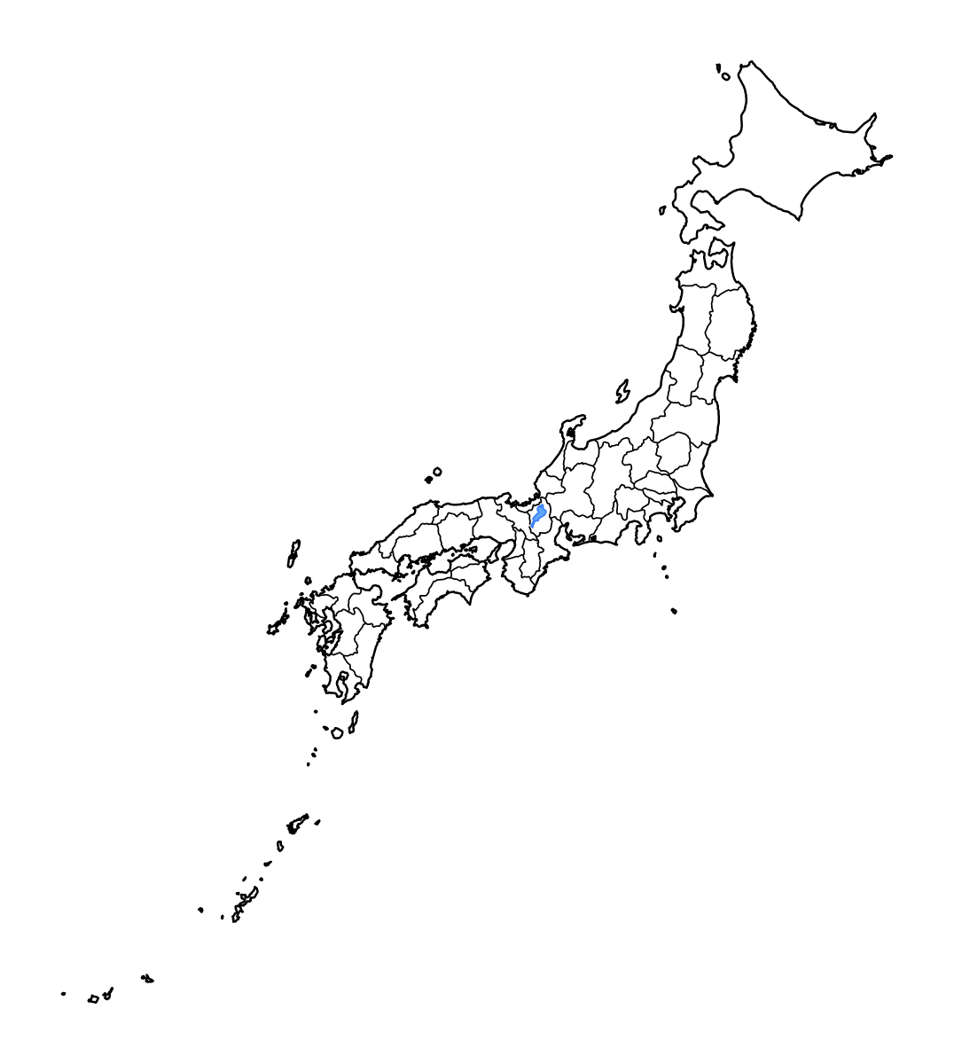
Outline map of Japan, showing 47 mapped units and lakes and rivers.
- Location
- Asia
- Regions included
- 47
- Named lakes
- 1
Available layers
- Background
- Borders
- Subdivisions
- Lakes
- Rivers
Download formats
- svg
- png
Regions included (47)
- Aichi Prefecture
- Akita Prefecture
- Aomori Prefecture
- Chiba Prefecture
- Ehime Prefecture
- Fukui Prefecture
- Fukuoka Prefecture
- Fukushima Prefecture
- Gifu Prefecture
- Gunma Prefecture
- Hiroshima Prefecture
- Hokkaidō
- Hyōgo Prefecture
- Ibaraki Prefecture
- Ishikawa Prefecture
- Iwate Prefecture
- Kagawa Prefecture
- Kagoshima Prefecture
- Kanagawa Prefecture
- Kōchi Prefecture
- Kumamoto Prefecture
- Kyōto Prefecture
- Mie Prefecture
- Miyagi Prefecture
- Miyazaki Prefecture
- Nagano Prefecture
- Nagasaki Prefecture
- Nara Prefecture
- Niigata Prefecture
- Ōita Prefecture
- Okayama Prefecture
- Okinawa Prefecture
- Ōsaka Prefecture
- Saga Prefecture
- Saitama Prefecture
- Shiga Prefecture
- Shimane Prefecture
- Shizuoka Prefecture
- Tochigi Prefecture
- Tokushima Prefecture
- Tokyo
- Tottori Prefecture
- Toyama Prefecture
- Wakayama Prefecture
- Yamagata Prefecture
- Yamaguchi Prefecture
- Yamanashi Prefecture
Lakes included (1)
- Biwa-ko
Loading map...