
Map detailsClose
Iran Outline Map
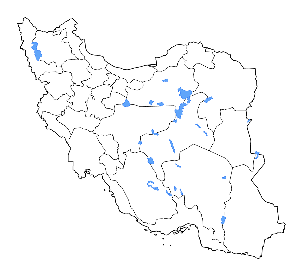
Outline map of Iran, showing 31 mapped units and lakes and rivers.
- Location
- Asia
- Regions included
- 31
- Named lakes
- 13
Available layers
- Background
- Borders
- Subdivisions
- Lakes
- Rivers
Download formats
- svg
- png
Regions included (31)
- Alborz
- Ardabil
- Bushehr
- Chaharmahal and Bakhtiari
- East Azerbaijan
- Fars
- Gilan
- Golestan
- Hamadan
- Hormozgan
- Ilam
- Isfahan
- Kerman
- Kermanshah
- Khuzestan
- Kohgiluyeh and Boyer-Ahmad
- Kurdistan
- Lorestan
- Markazi
- Mazandaran
- North Khorasan
- Qazvin
- Qom
- Razavi Khorasan
- Semnan
- Sistan and Baluchestan
- South Khorasan
- Tehran
- West Azerbaijan
- Yazd
- Zanjan
Lakes included (13)
- Daqq-e Paţregān
- Kavīr-e Namak-e Masīrjān
- Daryā-ye Namak
- Daryācheh-ye Ţashk
- Kavīr-e Sīāh Kūh
- Daryācheh-ye Bakhtegān
- Daryācheh-ye Faşlī-ye Hāmūn-e Jāzmūrīān
- Hāmūn-e Şābirī
- Kaffeh-ye Bard-e Shīrāz
- Kavīr-e Darānjīr
- Lake Urmia
- Meydān-e Gel
- Gāvkhūnī
Loading map...