
Map detailsClose
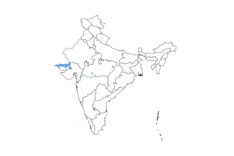
India Outline Map
Outline map of India, showing 36 mapped units and lakes and rivers.
- Location
- Asia
- Regions included
- 36
- Named lakes
- 7
Available layers
- Background
- Borders
- Subdivisions
- Lakes
- Rivers
Download formats
- svg
- png
Regions included (36)
- Andaman and Nicobar Islands
- Andhra Pradesh
- Arunachal Pradesh
- Assam
- Bihar
- Chandigarh
- Chhattisgarh
- Dadra and Nagar Haveli and Daman and Diu
- Delhi
- Goa
- Gujarat
- Haryana
- Himachal Pradesh
- Jammu and Kashmir
- Jharkhand
- Karnataka
- Kerala
- Ladakh
- Lakshadweep
- Madhya Pradesh
- Maharashtra
- Manipur
- Meghalaya
- Mizoram
- Nagaland
- Odisha
- Puducherry
- Punjab
- Rajasthan
- Sikkim
- Tamil Nadu
- Telangana
- Tripura
- Uttar Pradesh
- Uttarakhand
- West Bengal
Lakes included (7)
- Ukāi Reservoir
- Rann of Kutch
- Hirakud Reservoir
- Pangong Tso
- Indira Sagar
- Gāndhi Sāgar
- Chilika Lake
Loading map...