
Map detailsClose
Bhutan Outline Map
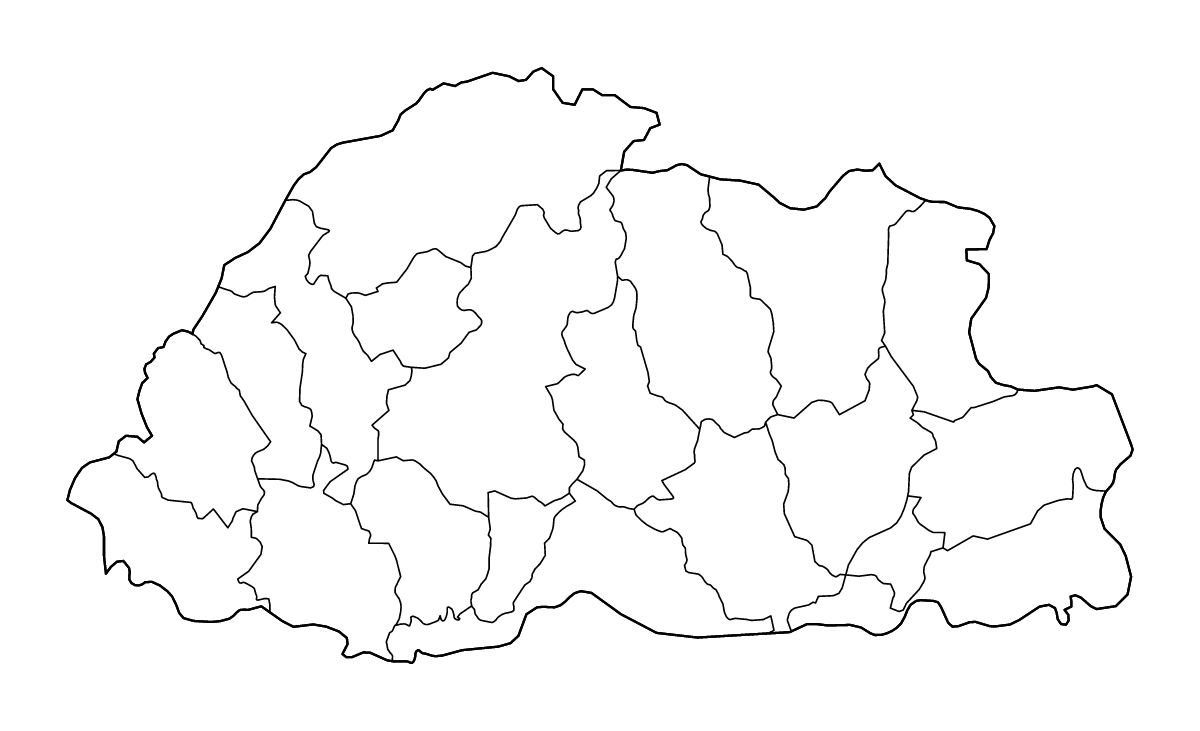
Bhutan outline map with 20 districts and rivers. Customize colors, borders, and map styles with an interactive editor. Download your finished Bhutan map in SVG, PNG, or PDF.
Outline map of Bhutan, showing 20 mapped units and rivers.
Use this blank map of Bhutan for geography lessons, presentations, or a printable reference map.
Customize this outline map
- Choose an outline map design, then adjust its colors and line styles.
- Change the land color and the color and thickness of the outer border.
- Adjust internal boundary colors and line widths separately from the outer border.
- Set the map background color or use a transparent background.
- Show or hide the river layer and change river colors and line widths.
- Add place names or notes as text labels, then position and format them on the map.
- Download the outline map as SVG, PNG, or PDF, with canvas dimensions or PDF page settings for your layout.
- Location
- Asia
- Regions included
- 20
Available layers
- Background
- Borders
- Subdivisions
- Rivers
Download formats
- svg
- png
Use this map for
Customize for free. Download your finished map for USD 1.99.
Download optionsRegions included (20)
- Bumthang
- Chukha
- Dagana
- Gasa
- Geylegphug
- Haa
- Lhuntse
- Mongar
- Paro
- Pemagatshel
- Punakha
- Samdrup Jongkhar
- Samtse
- Thimphu
- Trashigang
- Trashiyangtse
- Trongsa
- Tsirang
- Wangdue Phodrang
- Zhemgang
Loading map...