
Map detailsClose
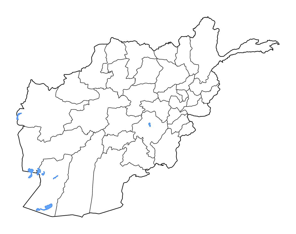
Afghanistan Outline Map
Outline map of Afghanistan, showing 34 mapped units and lakes and rivers.
- Location
- Asia
- Regions included
- 34
- Named lakes
- 7
Available layers
- Background
- Borders
- Subdivisions
- Lakes
- Rivers
Download formats
- svg
- png
Regions included (34)
- Badakhshan
- Badghis
- Baghlan
- Balkh
- Bamyan
- Farah
- Faryab
- Ghazni
- Ghōr
- Helmand
- Herat
- Jowzjan
- Kabul
- Kandahar
- Kapisa
- Khost
- Kunar
- Kunduz
- Laghman
- Logar
- Maidan Wardak
- Nangarhar
- Nimruz
- Nuristan
- Paktia
- Paktika
- Parwan
- Parwan
- Samangan
- Sar-e Pol
- Takhar
- Urozgan
- Urozgan
- Zabul
Lakes included (7)
- Daryācheh-ye Namakzār
- Hāmūn-e Şābirī
- Kōl-e Namaksār
- Jahīl-e Pūzak
- Gowd-e Zereh
- Gowd-e Zereh
- Dasht-e Nāwêr
Loading map...