
Map detailsClose
Madagascar Outline Map
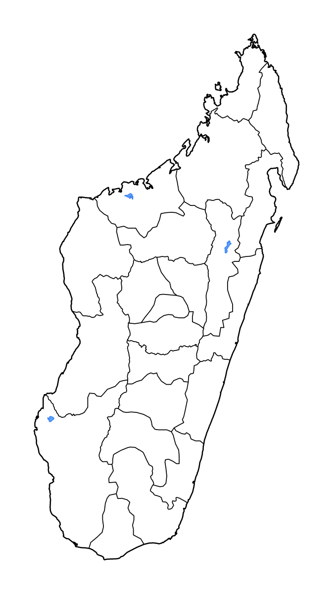
Outline map of Madagascar, showing 22 mapped units and lakes and rivers. Former 22-region arrangement.
- Location
- Africa
- Regions included
- 22
- Named lakes
- 3
Available layers
- Background
- Borders
- Subdivisions
- Lakes
- Rivers
Download formats
- svg
- png
Regions included (22)
- Alaotra-Mangoro
- Amoron'i Mania
- Analamanga
- Analanjirofo
- Androy
- Anosy
- Atsimo-Andrefana
- Atsimo-Atsinanana
- Atsinanana
- Betsiboka
- Boeny
- Bongolava
- Diana
- Haute Matsiatra
- Ihorombe
- Itasy
- Melaky
- Menabe
- Sava
- Sofia
- Vakinankaratra
- Vatovavy-Fitovinany
Lakes included (3)
- Lac Ihotry
- Lac Kinkony
- Lac Alaotra
Loading map...