
Map detailsClose
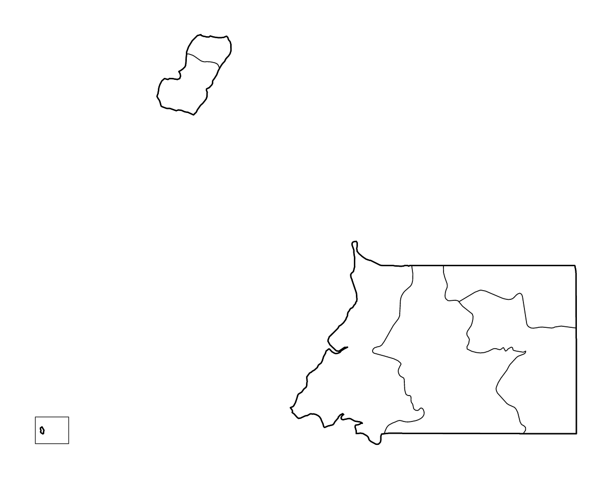
Equatorial Guinea Outline Map
Equatorial Guinea outline map with 7 provinces and rivers. Customize colors, borders, and map styles with an interactive editor. Download your finished Equatorial Guinea map in SVG, PNG, or PDF.
Outline map of Equatorial Guinea, showing 7 mapped units and rivers.
Use this blank map of Equatorial Guinea for geography lessons, presentations, or a printable reference map.
Customize this outline map
- Choose an outline map design, then adjust its colors and line styles.
- Change the land color and the color and thickness of the outer border.
- Adjust internal boundary colors and line widths separately from the outer border.
- Set the map background color or use a transparent background.
- Show or hide the river layer and change river colors and line widths.
- Add place names or notes as text labels, then position and format them on the map.
- Download the outline map as SVG, PNG, or PDF, with canvas dimensions or PDF page settings for your layout.
- Location
- Africa
- Regions included
- 7
Available layers
- Background
- Borders
- Subdivisions
- Rivers
Download formats
- svg
- png
Use this map for
Customize for free. Download your finished map for USD 1.99.
Download optionsRegions included (7)
- Annobón
- Bioko Norte
- Bioko Sur
- Centro Sur
- Kié-Ntem
- Litoral
- Wele-Nzas
Loading map...