
Map detailsClose
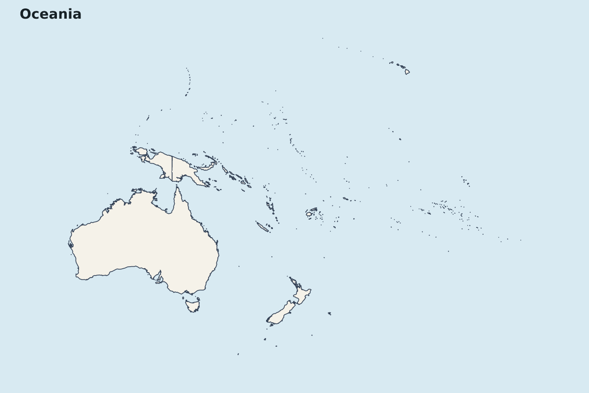
Oceania Highlight Map
Highlight map of Oceania, showing 28 mapped units.
- Regions included
- 28
Available layers
- Background
- Borders
- Subdivisions
Download formats
- svg
- png
Regions included (28)
- American Samoa
- Ashmore and Cartier Islands
- Australia
- Cook Islands
- Federated States of Micronesia
- Fiji
- French Polynesia
- Guam
- Indonesia
- Kiribati
- Marshall Islands
- Nauru
- New Caledonia
- New Zealand
- Niue
- Norfolk Island
- Northern Mariana Islands
- Palau
- Papua New Guinea
- Pitcairn Islands
- Samoa
- Solomon Islands
- Tokelau
- Tonga
- Tuvalu
- United States
- Vanuatu
- Wallis and Futuna Islands
Loading map...