
Map detailsClose
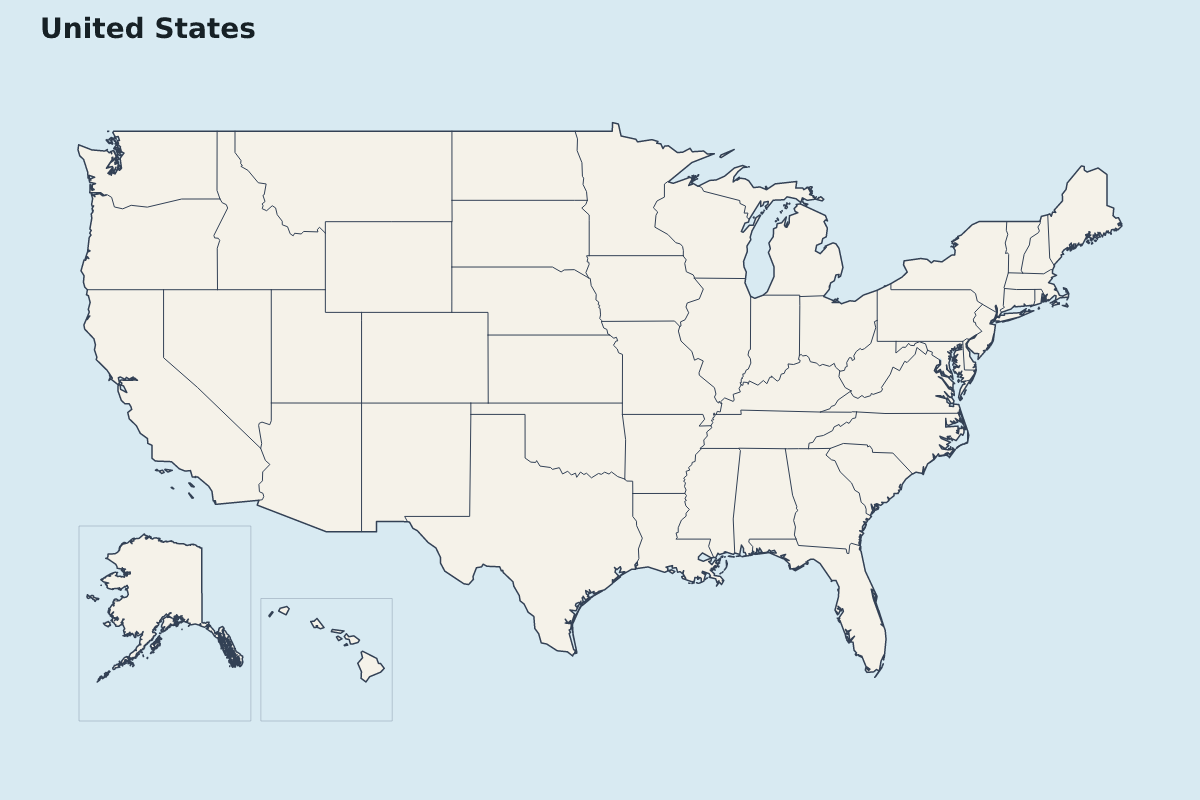
United States Highlight Map
Highlight map of United States, showing 50 mapped units. Excludes District of Columbia.
Make a color-coded map of United States to compare regions, mark territories, or show geographic groups.
Customize this highlight map
- Assign the 50 states to color groups by selecting them on the map.
- Add or remove color groups, name each group, and choose its fill color.
- Show or hide the group legend and edit its labels to explain the map colors.
- Style the unselected regions, background, internal borders, and outer outline.
- Edit the map title and subtitle, and add text annotations to identify places or explain groups.
- Download the color-coded map and its visible legend as SVG, PNG, or PDF.
- Location
- North America
- Regions included
- 50
Available layers
- Background
- Borders
- Subdivisions
Download formats
- svg
- png
Use this map for
Customize for free. Download your finished map for USD 1.99.
Download optionsRegions included (50)
- Alabama
- Alaska
- Arizona
- Arkansas
- California
- Colorado
- Connecticut
- Delaware
- Florida
- Georgia
- Hawaii
- Idaho
- Illinois
- Indiana
- Iowa
- Kansas
- Kentucky
- Louisiana
- Maine
- Maryland
- Massachusetts
- Michigan
- Minnesota
- Mississippi
- Missouri
- Montana
- Nebraska
- Nevada
- New Hampshire
- New Jersey
- New Mexico
- New York
- North Carolina
- North Dakota
- Ohio
- Oklahoma
- Oregon
- Pennsylvania
- Rhode Island
- South Carolina
- South Dakota
- Tennessee
- Texas
- Utah
- Vermont
- Virginia
- Washington
- West Virginia
- Wisconsin
- Wyoming
Loading map...