
Map detailsClose
El Salvador Highlight Map
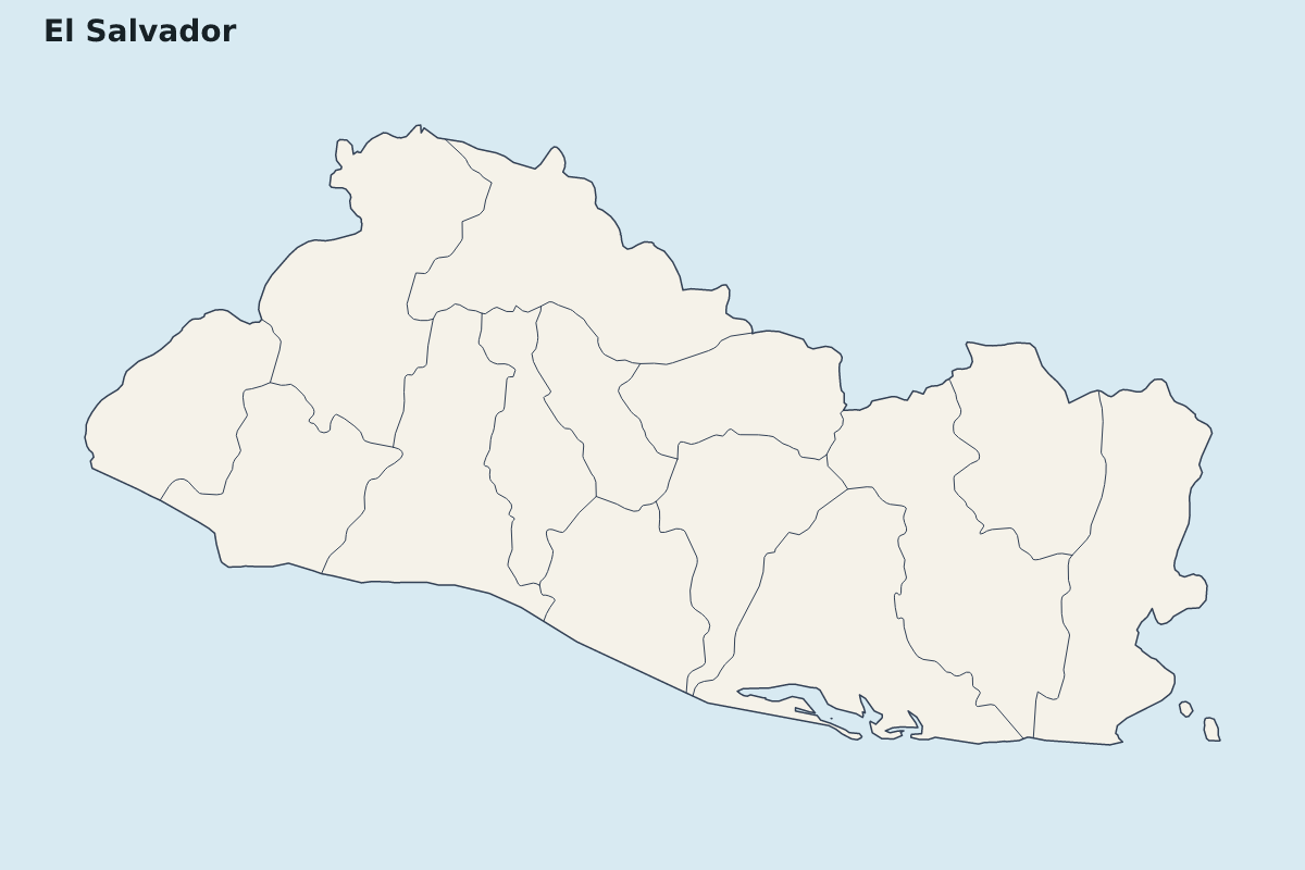
Highlight map of El Salvador, showing 14 mapped units.
- Location
- North America
- Regions included
- 14
Available layers
- Background
- Borders
- Subdivisions
Download formats
- svg
- png
Regions included (14)
- Ahuachapán
- Cabañas
- Chalatenango
- Cuscatlán
- La Libertad
- La Paz
- La Unión
- Morazán
- San Miguel
- San Salvador
- San Vicente
- Santa Ana
- Sonsonate
- Usulután
Loading map...