
Map detailsClose
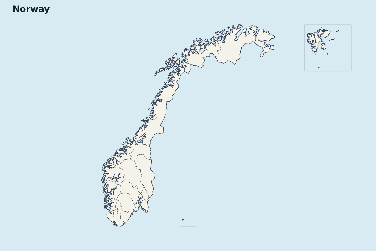
Norway Highlight Map
Highlight map of Norway, showing 21 mapped units.
- Location
- Europe
- Regions included
- 21
Available layers
- Background
- Borders
- Subdivisions
Download formats
- svg
- png
Regions included (21)
- Akershus
- Aust-Agder
- Bouvet Island
- Buskerud
- Finnmark
- Hedmark
- Hordaland
- Møre og Romsdal
- Nord-Trøndelag
- Nordland
- Oppland
- Oslo
- Østfold
- Rogaland
- Sogn og Fjordane
- Sør-Trøndelag
- Svalbard
- Telemark
- Troms
- Vest-Agder
- Vestfold
Loading map...