
Map detailsClose
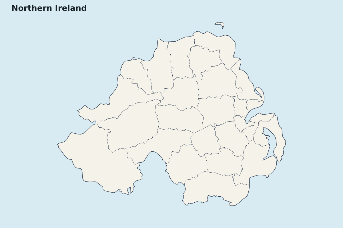
Northern Ireland Highlight Map
Highlight map of Northern Ireland, showing 26 mapped units.
- Location
- Europe
- Regions included
- 26
Available layers
- Background
- Borders
- Subdivisions
Download formats
- svg
- png
Regions included (26)
- Antrim
- Ards
- Armagh
- Ballymena
- Ballymoney
- Banbridge
- Belfast
- Carrickfergus
- Castlereagh
- Coleraine
- Craigavon
- Derry
- Down
- Dungannon and South Tyrone
- Fermanagh
- Larne
- Limavady
- Lisburn
- Magherafelt
- Mid Ulster
- Moyle
- Newry and Mourne
- Newtownabbey
- North Down
- Omagh
- Strabane
Loading map...