
Map detailsClose
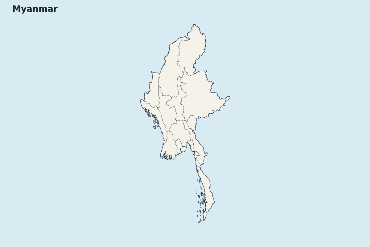
Myanmar Highlight Map
Highlight map of Myanmar, showing 14 mapped units.
- Location
- Asia
- Regions included
- 14
Available layers
- Background
- Borders
- Subdivisions
Download formats
- svg
- png
Regions included (14)
- Ayeyarwady
- Bago
- Chin State
- Kachin State
- Kayah State
- Kayin State
- Magway
- Mandalay
- Mon State
- Rakhine State
- Sagaing
- Shan State
- Tanintharyi
- Yangon
Loading map...