
Map detailsClose
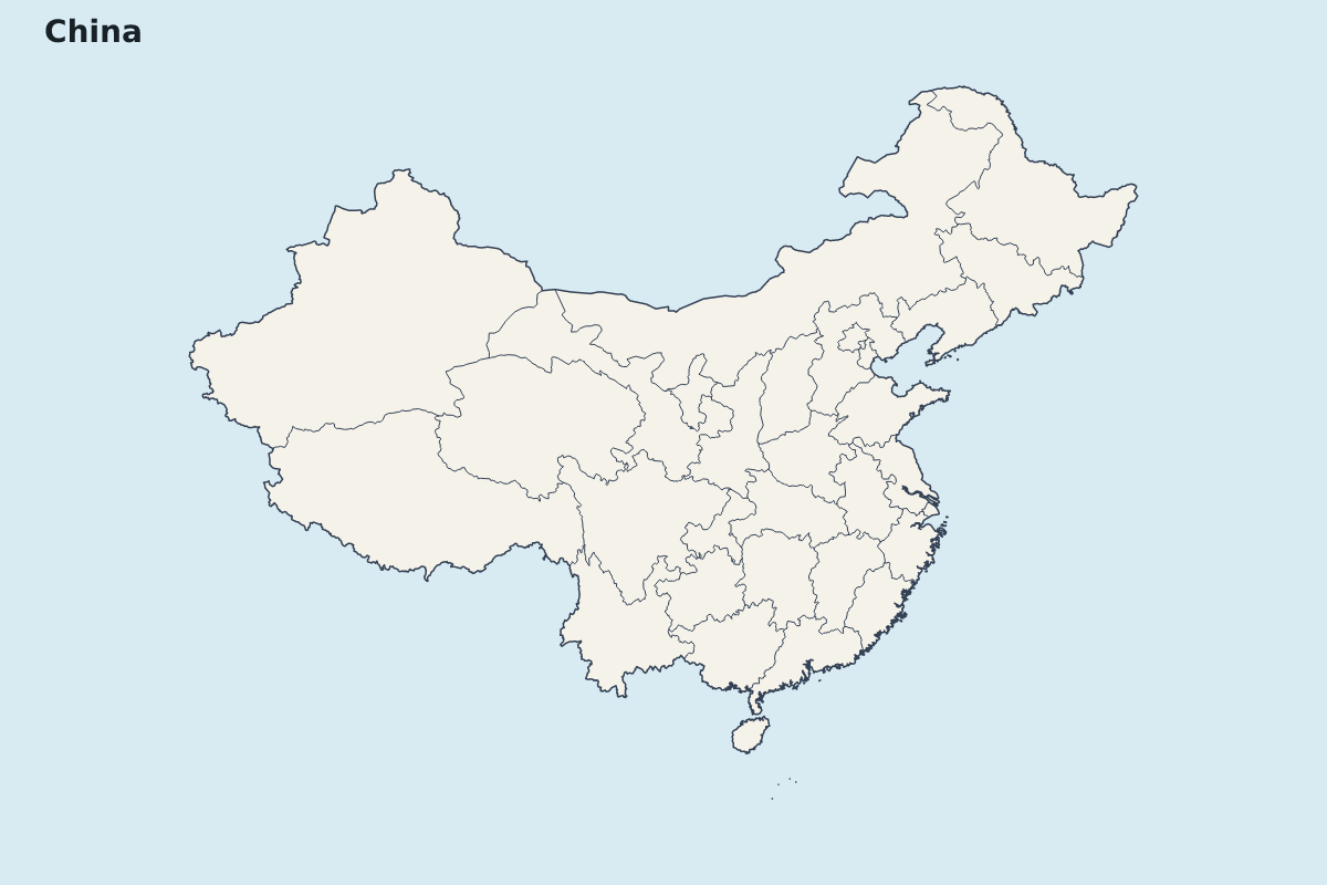
China Highlight Map
Highlight map of China, showing 32 mapped units.
- Location
- Asia
- Regions included
- 32
Available layers
- Background
- Borders
- Subdivisions
Download formats
- svg
- png
Regions included (32)
- Anhui
- Beijing
- Chongqing
- Fujian
- Gansu
- Guangdong
- Guangxi
- Guizhou
- Hainan
- Hebei
- Heilongjiang
- Henan
- Hubei
- Hunan
- Inner Mongolia
- Jiangsu
- Jiangxi
- Jilin
- Liaoning
- Ningxia
- Paracel Islands
- Qinghai
- Shaanxi
- Shandong
- Shanghai
- Shanxi
- Sichuan
- Tianjin
- Tibet
- Xinjiang
- Yunnan
- Zhejiang
Loading map...