
Map detailsClose
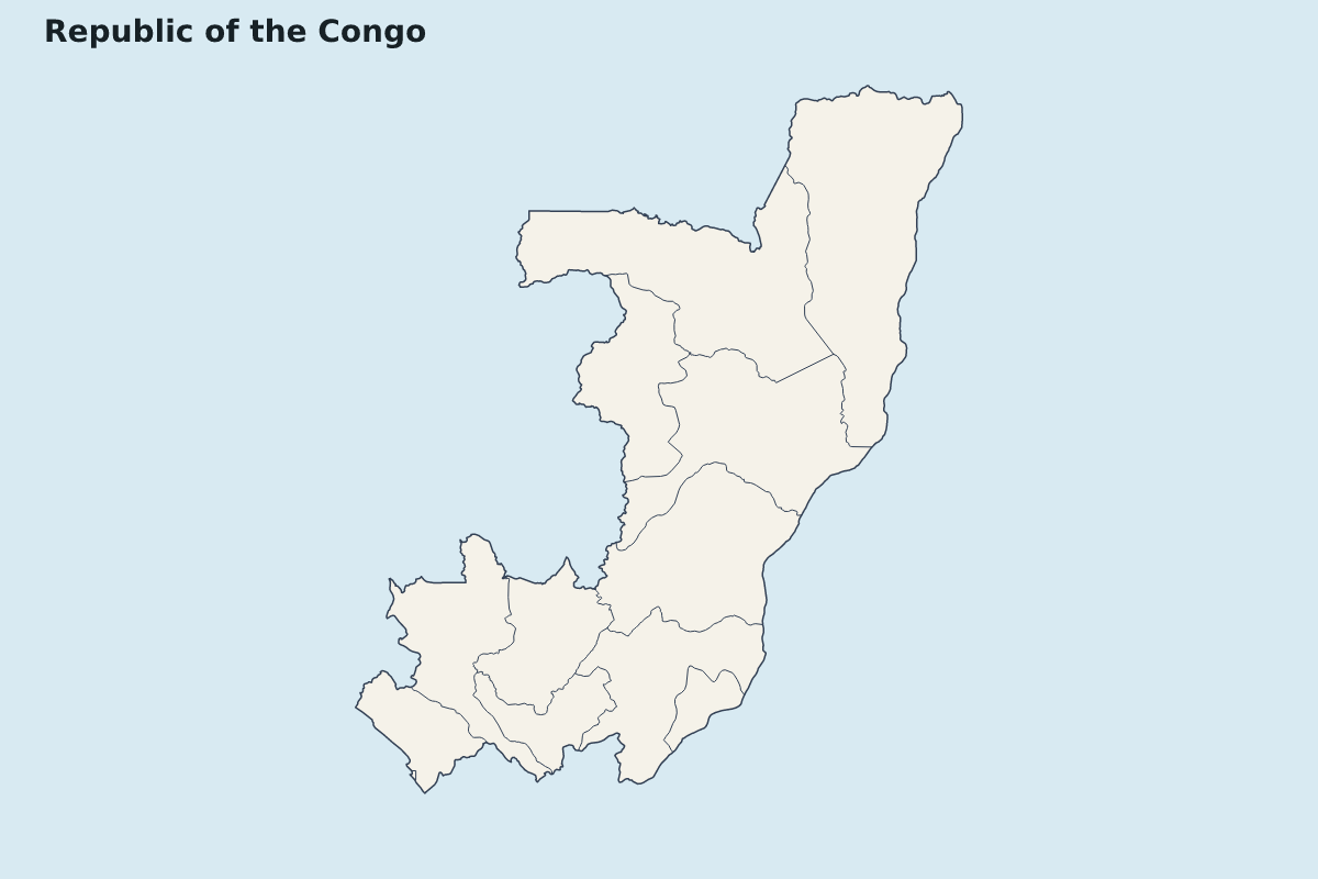
Republic of the Congo Highlight Map
Highlight map of Republic of the Congo, showing 12 mapped units.
- Location
- Africa
- Regions included
- 12
Available layers
- Background
- Borders
- Subdivisions
Download formats
- svg
- png
Regions included (12)
- Bouenza
- Brazzaville
- Cuvette
- Cuvette-Ouest
- Kouilou
- Lékoumou
- Likouala
- Niari
- Plateaux
- Pointe-Noire
- Pool
- Sangha
Loading map...